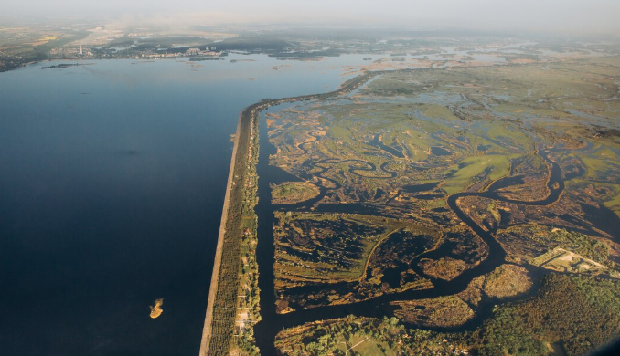
On a dry summer’s day in California’s Central Valley, the ground can appear deceptively serene. Irrigation pipes sparkle in the sunlight as rows of almond trees extend toward the horizon. But something unseen is changing beneath the soil. Well by well, water that has been accumulating in subterranean aquifers for centuries is slowly vanishing. Furthermore, satellites orbiting hundreds of kilometers above the planet are starting to verify the severity of the issue.
For many years, groundwater depletion was thought to be a regional problem that only affected heavily irrigated farms or areas that were prone to drought. However, that assumption has been complicated by satellite measurements.
| Category | Information |
|---|---|
| Topic | Global Groundwater and Aquifer Depletion |
| Major Monitoring System | GRACE and GRACE-FO satellites |
| Operating Agencies | NASA, German Aerospace Center, GFZ German Research Centre for Geosciences |
| Data Period | 2002 – Present |
| Notable Finding | Global freshwater dropped significantly beginning around 2014 |
| Estimated Loss | About 1,200 cubic km of terrestrial freshwater compared with earlier averages |
| Major Drivers | Irrigation, climate change, drought cycles, urban expansion |
| Regions Most Affected | South Asia, North America, Middle East, parts of Africa |
| Impact | Declining wells, agricultural risk, ecosystem stress |
| Scientific Sources | NASA, Nature, Environmental Research Letters |
| Reference | https://science.nasa.gov |
The GRACE and GRACE-Follow On satellites can identify changes in subterranean water storage by using instruments that monitor minute variations in Earth’s gravity. The planet’s gravitational field slightly changes when aquifers lose water. The technique of measuring drought from space is almost unreal. Many scientists are uneasy about the findings.
Global freshwater storage on land began to drastically decline around 2014 and has remained abnormally low ever since. An estimated 1,200 cubic kilometers of water—roughly two and a half times the volume of Lake Erie—have been lost, according to researchers. Such numbers are difficult to picture. However, as the data continues to mount, there is a sense that the planet’s water cycle might be undergoing a structural change.
Climate plays a role in the narrative. Because warmer air retains more moisture, rainfall patterns are altered in ways that don’t always restore groundwater. These days, rain usually falls in sudden, heavy downpours. Though it doesn’t stay long enough to seep into aquifers, the water rushes across the surface, filling storm drains and rivers. The soil becomes less absorbent as it dries and solidifies. Although it’s a subtle change, it appears to occur repeatedly across continents.
Wells have been pumping continuously for decades in parts of Pakistan and India, supplying the irrigation systems that support contemporary agriculture. According to satellite data, groundwater levels in some parts of South Asia are declining quickly—sometimes by more than half a meter annually. During the dry season in Punjab, standing next to a village well, one may observe that the pumps are operating longer than they used to, drawing water from ever-deeper depths.
Aquifers are rarely discussed scientifically by farmers. All they say is that the wells aren’t filling as fast as they used to.
According to a study that examined over 170,000 groundwater wells globally, accelerated declines are occurring in almost 30% of major aquifers. This does not imply that all aquifers are drying up. Following modifications to policies or better water management, some have stabilized. However, the overall trend indicates that in many locations, human demand has surpassed natural recharge. The tension in this situation is difficult to ignore.
Groundwater is essential to modern agriculture. Cities also rely on it. Subterranean water becomes the fallback option during dry years when rivers recede and reservoir levels drop. A feedback loop is created as that reliance increases during drought. More pumping results from less rainfall, further depleting the aquifer.
Scientists sometimes use cautious language when describing the situation as they watch it develop through satellite imagery and well monitoring. It’s still unclear if changing weather patterns will result in a recovery of freshwater levels worldwide. Refilling aquifers can take decades at times. Furthermore, some of the deepest ones—fossil aquifers created thousands of years ago—might not recharge at all. The satellite maps continue to be updated in the meantime.
In areas where freshwater storage has dropped to its lowest point in over 20 years, dark patches can be seen. Since 2015, which also happens to be among the warmest years on record, those lows have affected a large portion of the planet’s land surface. Naturally, correlation does not always imply causation. However, it is hard to overlook the overlap.
All of this is a weird paradox. Earth still appears to be a blue planet from space, with clouds glinting on the oceans. Water appears to be plentiful. However, replacing freshwater stored underground, which is the primary source of water for people, is getting more difficult.
It’s difficult to ignore how subtly the issue arises. No spectacular explosion. Not a single crisis moment. The only signs of a much bigger story developing beneath the surface are satellites recording slight gravitational changes, pumps exerting more effort, and wells progressively deepening.
It’s unclear if the world will respond swiftly enough. Patient systems are aquifers. They may take generations to recover from, decades to drain, and centuries to fill.